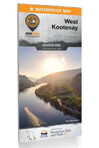
This topographic hunting map covers Wildlife Management Unit 8-26 in southern British Columbia. Featuring 1:20,000 scale water and road data from the popular Backroad Mapbook series, the maps clearly mark Wildlife Management Units, along with private land areas, Indian reserves and park areas.
The printed version of the map is displayed at 1:75,000 scale on 61 x 94 cm (24 x 37 in) paper on a durable waterproof synthetic material.
Map Features: Wildlife Management Units, Highways, Logging & Forest Service Roads, Land & Water Features, Parks, Adventure Points of Interest, Campgrounds, Hiking Trails, Motorized Trails, Paddling Routes, Hunting & Fishing Areas, Recreation Sites, and more.
Areas Covered: Armstrong, Enderby, Deep Creek, Enderby Cliffs Provincial Park, Gardom Lake, Grindrod, Larkin, Mara Lake, Six Mile Point, Shuswap River, Silver Star Provincial Park, Okanagan Region, BC, WMU 8-26
FEATURES
- Printed on a durable waterproof synthetic material.
- Includes industry leading cartographic detail and state-of-the-art relief shading
- Countless points of interest, trails, campsites, hunting management boundaries, private land/Crown land area and more!
- Easy to read, large-scale 61 x 94 cm (24 x 37 in) map at 1:75,000 scale
- Seamless map coverage requires no page turning
 REGULAR STORE HOURS: Mon - Fri: 9am - 5.30pm


