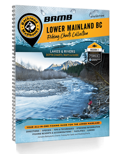
The Kootenays offer some of the most scenic fishing in BC, with a fantastic combination of hidden mountain lakes and large valley-bottom lakes and rivers. World-class fishing destinations such as Kootenay Lake and the Columbia and Elk Rivers draw anglers from around the globe coming in search of those famed Gerrard rainbow trout and fast growing Westslope cutthroat trout. The trout are intermixed with a good combination of bass, kokanee and walleye that reside in the local lakes and streams, allowing for a perfect blend of fishing adventures just waiting to be discovered.
As we continue to work to provide the best and most up to date information, users of this Fishing Mapbook will find that fishing descriptions, access and facilities have been reviewed and fully updated, including new campsite, lodge, and resort details. We have also included new and improved bathymetric lake depth charts, as well as the most up to date information available for fish species and stocking information for all lakes and rivers. We have even included the newest fishing docks to our maps.
The printed version of this Fishing Mapbook comes in the convenient 21.5 x 28 cm (8.5 x 11 inch) Mapbook format with a heavy-duty spiral-bound cover. Covering the Kootenay Region or Region 4, the 128-page book includes over 100 lakes and rivers, showing you where to fish and the best way to fish any given area. We have loaded the book with fishing tips, breakdowns of various fish species, fly hatches and specific information on each lake and stream. Inside, you will find maps and depth charts for popular lakes, plus bar or hot spot maps of the main rivers in this region. Nowhere else will you find this combination of detailed regional information plus top-notch angling expertise all in one place.
Areas Covered: Canal Flats, Castlegar, Creston, Cranbrook, Elkford, Fairmont Hot Springs, Fernie, Golden, Invermere, Kaslo, Kimberley, Moyie, Nakusp, Nelson, Radium Hot Springs, Parson, Revelstoke, Salmo, Sparwood, Slocan, Trail, Trout Lake & more
FEATURES
- Bathymetric Lake Depth Charts
- River Hot Spot Maps
- Lake Data including Elevation
- Surface Area
- Maximum & Mean Depth
- Stocking Information
- Access Roads
- Land & Water Features
- Parks
- Recreation Sites
- Boat Launches
- Campgrounds
- Resorts
- Fishing Docks
 REGULAR STORE HOURS: Mon - Fri: 9am - 5.30pm


