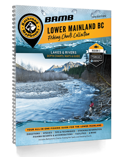
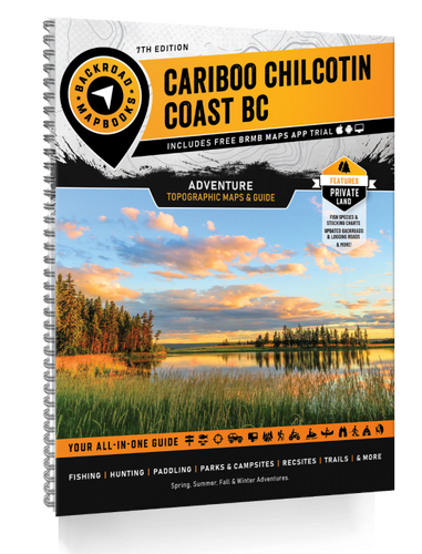
The Cariboo or Region 5 is home to thousands of lakes and the incredible fishing, peace and quiet and stunning scenery makes this an ideal family fishing and camping destination. The Cariboo is also well known for some of the best trout, steelhead and salmon rivers in the world. To complement the surroundings, this abundance of lakes, both large and small and some close to major urban centres, allow anglers of all ages to enjoy a successful outing.
In our ongoing efforts to provide the best and most recent information, users of this Fishing Mapbook will find that Cariboo specific fishing, access and facilities, including campsite, lodge and resort details, have been reviewed and fully updated. We have added a number of new lakes and improved bathymetric lake depth charts. Fish species and stocking information for all lakes and rivers provide the most up to date details available. We have even added the newest fishing dock information to our maps and facility information.
The printed version of the Cariboo Fishing Mapbook comes in the convenient 21.5 x 28 cm (8.5 x 11 inch) mapbook format with a heavy-duty spiral-bound cover. To assist the greenest angler to the most seasoned veteran, the 144 page book, which covers over 115 lakes and rivers, shows you where to fish and how to best fish any given area. We have loaded it with fishing tips, breakdowns of various fish species, hatch details and specific information on each lake and stream along with maps and depth charts for popular lakes. Nowhere else will you find such a combination of detailed regional information plus angling expertise all in one place.
Areas Covered: 100 Mile House, Alexis Creek, Anahim Lake, Barkerville, Bella Bella, Bella Coola, Bridge Lake, Chilcotin Plateau, Clinton, Horsefly, Interlakes Corner, Lac la Hache, Likely, Lone Butte, Quesnel, Wells, Williams Lake, & more
FEATURES
- Bathymetric Lake Depth Charts
- River Hot Spot Maps
- Lake Data including Elevation
- Surface Area
- Maximum & Mean Depth
- Stocking Information
- Access Roads
- Land & Water Features
- Parks
- Recreation Sites
- Boat Launches
- Campgrounds
- Resorts
- Fishing Docks
 REGULAR STORE HOURS: Mon - Fri: 9am - 5.30pm


