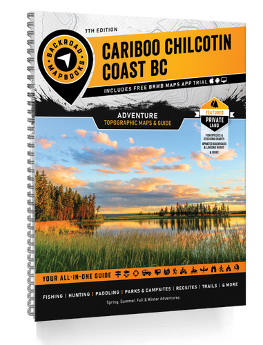
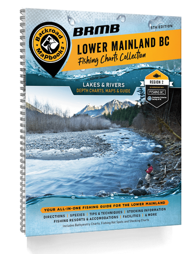
Larger than the entire country of Sweden, Northern BC is an immense sparsely populated region. The port city of Prince Rupert sits nestled among the majestic coast mountains in the west, acting as a gateway to the Pacific Ocean and the majestic islands of Haida Gwaii. To the east, the Rocky Mountains cast their imposing shadow over the land, attracting hikers, mountaineers and ski tourers from far and wide. Whether you are looking to fish, camp, ATV, snowmobile, hit a hot spring, view wildlife or just take in the sights, Northern BC offers an abundance of adventure.
The latest edition of our Northern BC Backroad Mapbook contains countless updates and additions to help you navigate this vast area. In addition to expanded road coverage, we have updated our motorized and multi-use trails, added more fish species to many lakes and rivers and included more Points of Interest. We have also included refined private land areas, an updated McBride area map and expanded our Adventures listings with additions to each section. There is a new Rock Climbing section, new Ocean bathymetry to the Pacific coast area of Northern BC and Haida Gwaii and an Overland subsection with a dozen routes described. The Community Profiles have been updated and refined to help feature the best areas to explore.
Areas Covered: Atlin, Chetwynd, Dawson Creek, Fort Nelson, Fort St. John, Haida Gwaii, Mackenzie, Prince George, Prince Rupert, Smithers, Stewart, Terrace, Tumbler Ridge, Vanderhoof & more.
FEATURES
- Updated Adventure listings, Attractions and more
- Updated Road and Trail Coverage
- Updated and expanded Central and Northern Coast Ocean paddling systems including 100's of campsites, access, portages and day-use areas
- New Ocean bathymetry to the central and north Pacific coast area
- New Overland and ATV Routes
- New Rock Climbing Destinations
- Additional Fishing Lake stocking information and charts
- Updated and expanded the multi-use trail systems including Trail Charts for the bigger parks and cities
- Private Land
- Labeled fish species for fishing lakes
- National, Provincial and Regional Parks, Private Campgrounds and First Nation areas
- The most resource, industry, and logging road coverage available for Northern BC
- Hiking trail charts for major hiking areas (including Babine Mountain Park, Smithers and Tumbler Ridge)
- Stocking charts for the region's stocked fish species
- WMU boundaries for all 3 regions: Region 6 (Skeena), 7A (Omineca) and 7B (Peace)
- Easy to use Index and navigation information
- Comprehensive Community Profiles of the main centres up north
 REGULAR STORE HOURS: Mon - Fri: 9am - 5.30pm


